 KEY-IOT
SEARCH
— 葡萄酒 | 威士忌 | 白兰地 | 啤酒 —
— 葡萄酒 | 威士忌 | 白兰地 | 啤酒 —
How GNSS/IMU integrated navigation provides “drift-free” global positioning for smart cars
Smart cars can “see,” but they may not “know where” they are.
LiDAR can detect surrounding obstacles, and cameras can identify lane lines, but these sensors have a common shortcoming—they can only sense “relative position” and cannot tell the vehicle its absolute coordinates on Earth.
Without global location data, vehicles cannot access high-precision maps or navigate accurately in complex environments such as overpasses and underground parking lots.
Even more challenging is that everyday weather conditions such as heavy rain, dense fog, and strong backlighting can significantly reduce the reliability of visual sensors.
For autonomous driving to truly “land,” a global positioning solution that is independent of weather, unaffected by obstructions, and always online is needed.
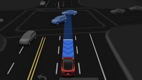
GNSS + IMU: A Perfect Match of Two Capabilities
Starlink’s introduction of GNSS/IMU deep-coupled integrated navigation in its intelligent driving positioning solution is a systematic answer to the above-mentioned problems.
GNSS (Satellite Navigation Satellite System) can provide global absolute coordinates, and the error does not accumulate over time, but the update frequency is low, and the signal is easily interrupted in obstructed scenarios such as tunnels, tall buildings, and canyons.
IMU (Inertial Measurement Unit) has a fast response and can output the displacement and attitude changes of a vehicle at high frequency, but the error will drift over time when used independently.
By deeply coupling the two through fusion algorithms such as Kalman filtering, their weaknesses are complemented:
GNSS continuously corrects the drift deviation of the IMU; the IMU takes over positioning when the GNSS signal is interrupted (such as when passing through a tunnel), providing high-frequency, continuous, and reliable short-term estimation.
The result is that, regardless of the road or weather conditions, vehicles always know where they are.
Typical scenario: Not losing contact while passing through a tunnel.
Taking a vehicle passing through an urban tunnel as an example, the system’s collaboration method is as follows:
① Before entering the tunnel—GNSS completes precise positioning benchmark locking and “hands over” the current position to IMU;
② Inside the tunnel—GNSS signal disappears, IMU takes over, and the driving trajectory is calculated at high frequency based on acceleration and angular velocity;
③ After exiting the tunnel—GNSS signal is restored, the accumulated error of the IMU is immediately corrected, and the position smoothly converges to centimeter-level accuracy;
The entire process seamlessly switches the driving system, and the positioning output remains stable and available throughout.
What it can do: The cornerstone of advanced driver assistance systems
With this solution, the intelligent driving platform supported by Xingchuang Yilian can achieve:
These capabilities rely on a globally accurate and always-online positioning base.
Next step: Moving towards “all-scenario” base station-free positioning
With the continuous improvement of BeiDou and the large-scale application of RTK technology, high-precision positioning with lower cost and no need for ground-based augmentation networks will be achieved in the future.
This means that high-precision positioning is no longer exclusive to high-end models; ordinary passenger vehicles will gradually acquire autonomous navigation capabilities for all urban scenarios.
The Starlink SV910 incorporates a GNSS+6-axis IMU satellite-inertial navigation high-precision positioning system, fully compatible with global satellite navigation systems such as GPS/BeiDou. Through the NTRIP protocol and T1/TX interface design, it has strong anti-interference and anti-obstruction capabilities, further enhancing reliable collaboration and accurate positioning capabilities in autonomous driving scenarios. This technology combination fundamentally solves the core problem of traditional equipment’s “inaccurate calculations,” providing a guarantee for real-time decision-making for L4 and above levels of autonomous driving.
Enter the result
Verification failed
 English English
 Español de Perú
 Русский
 العربية
 日本語
日本語 简体中文
简体中文 Français
 Deutsch
 繁體中文
繁體中文